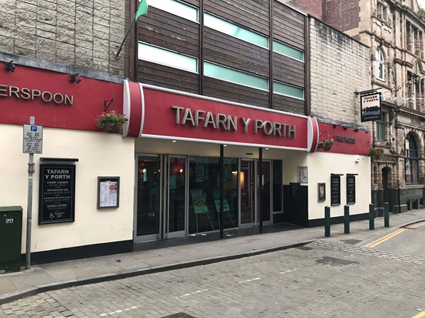
The Tafarn Y Porth (Gate Inn) takes its name from its location close to the east gate into Caernarfon Castle.
An illustration, photograph and text about Tafarn Y Porth.
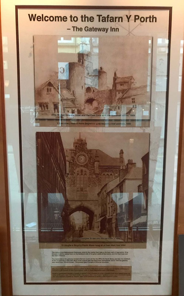
The text reads: The name of this Wetherspoon refers to the nearby East Gate in the town wall of Caernarfon. King Edward I built the walled town on the landward side of his great castle at Caernarfon, and the East Gate was the main entrance.
The rooms above the gateway housed what we would call the Tax Office for north Wales, and later the Guildhall. It also housed the curfew bell. Most of the original gate has since been demolished, and in 1833 the gateway was rebuilt as a ‘Watch House’. The present gate is largely a Victorian structure.
A photograph and text about David Lloyd George.
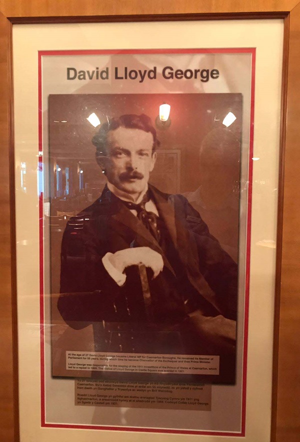
The text reads: At the age of 27 David Lloyd George became Liberal MP for Caernarfon boroughs. He remained its MP for 55 years, during which time he became Chancellor of the Exchequer and the Prime Minister.
Lloyd George was responsible for the staging of the 1911 Investiture of the Prince of Wales at Caernarfon, which led to a repeat in 1969. The statue of Lloyd George in Castle Square was erected in 1921.
A photograph and text about Tan-y-Bont arch.
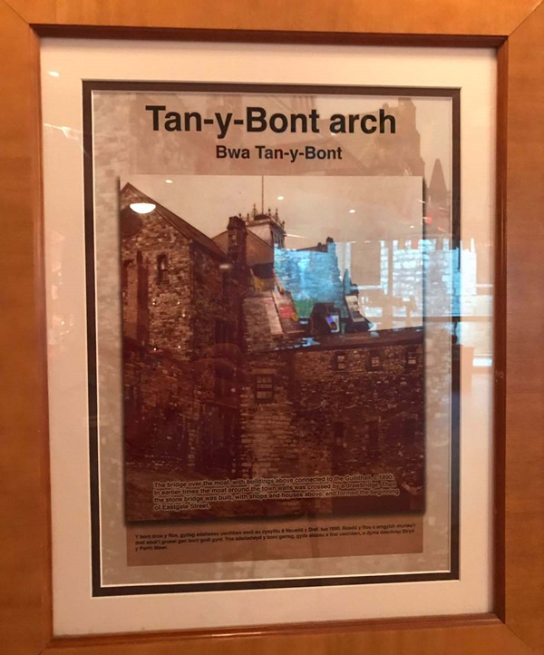
The text reads: The bridge over the moat, with buildings above connected to the Guildhall, c1890. In earlier times the moat around the walls was crossed by a drawbridge. Then the stone bridge was built, with shops and houses above, and formed the beginning of Eastgate Street.
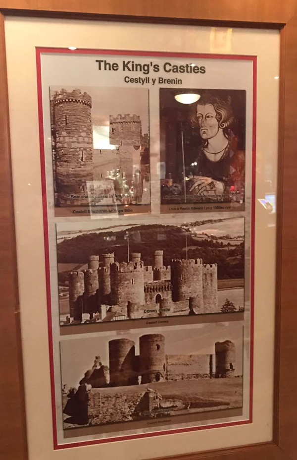
Photographs of the King’s castles.
Prints of buildings and areas in Caernarfon.
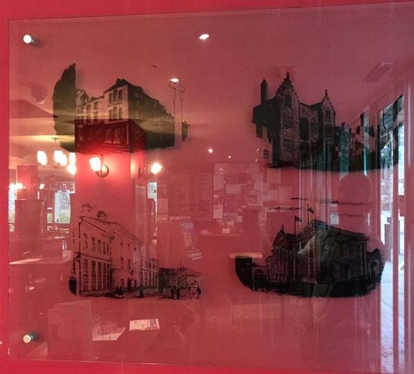
Top left: Old Town Market Place and Cross. The centre of the old town was the original location for the Old Town Market. Due to heavy traffic congestion at the end of the 18th century the market moved to a new location outside the town walls at Porth Mawr East Gate. The town’s cross’s fate is not known but it was probably destroyed during the reign of Henry VIII.
Top right: Plas Mawr, Palace Street, c1810. Palace Street derives its name from the old ‘plas’ and over the years has accommodated a wealth of inns, taverns and ale houses.
Bottom left: North Wales Teacher’s Training College, Church Street, c1890. In 1823, lavish Georgian baths were built by the Earl of Uxbridge, they were converted into the teacher’s training annex in 1858. Part of the Georgian- Victorian terrace was destroyed by a fire in 1891 and was rebuilt into private residences.
Bottom right: County Hall and Courts, c1880.
Justice buildings have occupied this area since medieval times and the present buildings were built in 1853 and 1863.
External photograph of the building – main entrance.
If you have information on the history of this pub, then we’d like you to share it with us. Please e-mail all information to: pubhistories@jdwetherspoon.co.uk